Land O’ Lakes Commute to Tampa’s Major Work Hubs
December 18, 2025
December 18, 2025
Thinking about living in Land O’ Lakes and working in Tampa? You’re not alone. Commute time often makes or breaks a move, and you want a clear picture before you buy. In this guide, you’ll learn the fastest routes, realistic drive times to Downtown, Westshore, and USF, how tolls and park-and-ride options work, and which parts of Land O’ Lakes tend to offer smoother commutes. Let’s dive in.
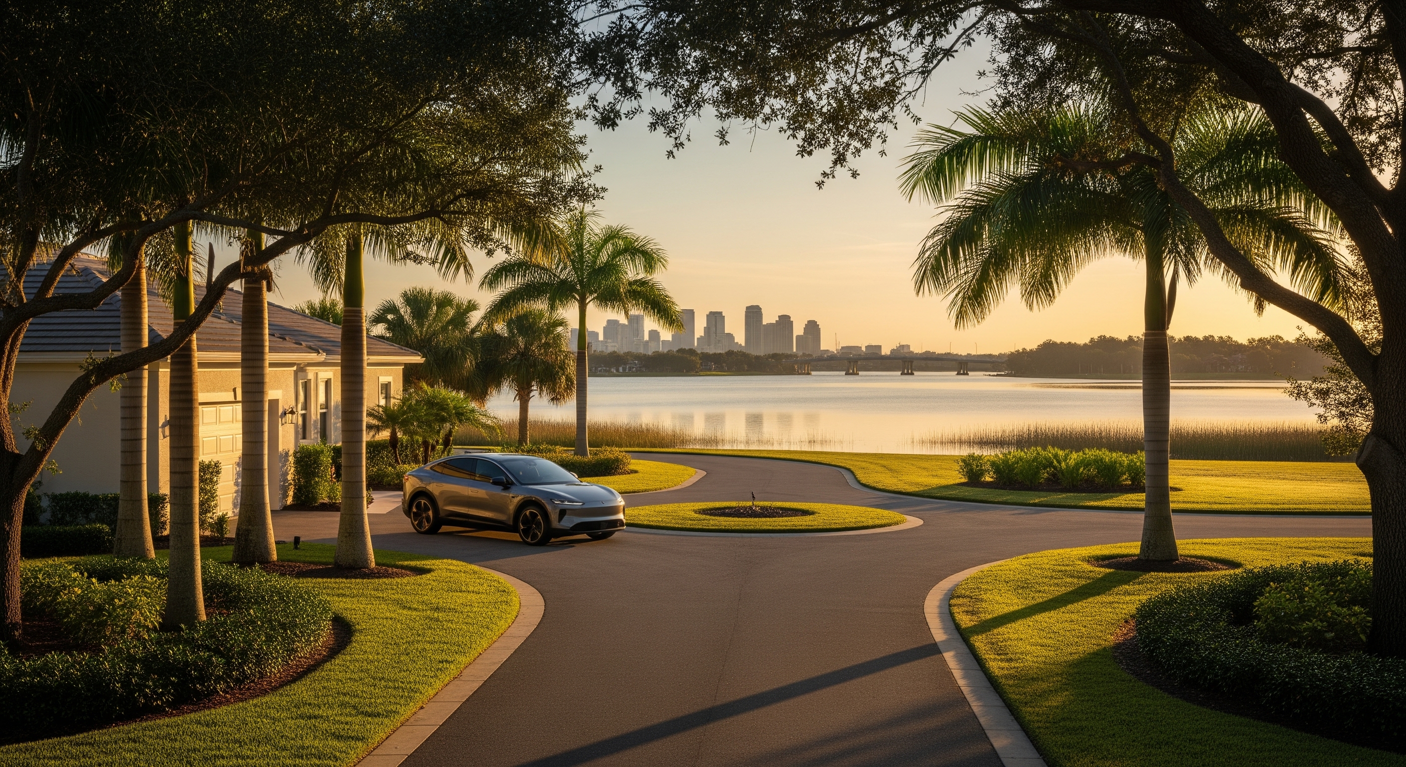
The Suncoast Parkway (SR 589) connects Land O’ Lakes to the Veterans Expressway and then I‑275, leading straight into Downtown and Westshore. It is tolled and limited access for most of the trip. Expect higher speeds and fewer stops, which makes it the most predictable option during peak times. Tolls add cost but often save time.
The SR 54 and SR 56 corridor is the main local route across Land O’ Lakes. It is toll free and gives you many access points, especially if you live along or south of SR 54. The tradeoff is more signals, retail traffic, and school traffic. It can be slower and less predictable during rush hour.
US‑41 and nearby county roads are used as back-road options when major corridors slow down. These routes avoid tolls but are generally slower and can clog up when drivers divert from SR 589 and SR 54.
From some eastern or northern pockets, I‑75 can help reach eastern Hillsborough jobs. For Downtown, it is usually indirect from Land O’ Lakes, so it tends to add distance and time compared with SR 589 and I‑275.
Regional transit is improving, but most Land O’ Lakes to Tampa trips still happen by car. Service between counties often requires transfers and careful schedule planning. If you want to explore non-driving options, start with agency resources and a test trip.
Common strategy: drive to a park-and-ride near SR 589 or a transfer hub, then use an express bus or carpool for the most congested segment. Availability, schedules, and security vary by lot, so confirm details before you rely on it.
If you live closest to SR 589 interchanges, you often get the fastest, most predictable trips to Downtown and Westshore. Being near the toll corridor can save 5 to 15 minutes in both peak and off-peak periods compared with central areas.
Living along or just south of SR 54 gives you balanced access. You can choose SR 589 for Downtown and Westshore or take SR 54 and SR 56 toward North Tampa and USF. Expect heavier commercial traffic and signals that can slow peak-hour departures.
Homes farther from SR 54 and SR 589 usually have longer and more variable drive times. You may add 10 to 20 minutes in peak periods compared with Suncoast-adjacent areas. The tradeoff can be quieter streets and more space.
Commute outcomes vary based on your exact access to SR 56 or SR 589. Some addresses enjoy reasonable times via those connectors, while others require circuitous local routes. Confirm your specific access points with a live drive test.
Using SR 589 usually shortens your trip but adds a daily toll cost. If you will commute this way regularly, set up a transponder and estimate monthly tolls. For updates on tolling and corridor projects, check FDOT District Seven. For Downtown and Westshore, factor parking costs and walk time into your total commute time, especially during peak hours.
Long-term roadway improvements can shift commute patterns. For a broader look at planned studies and congestion priorities in Hillsborough County, check the planning resources at Plan Hillsborough. Pair that with regular checks of FDOT District Seven for construction advisories along SR 589, Veterans Expressway, and I‑275.
Choosing the right location in Land O’ Lakes can trim 10 to 20 minutes off your daily drive. Our team helps you compare neighborhoods by access to SR 589 and SR 54, line up property tours around your commute windows, and weigh tolls, parking, and schedule flexibility. When you are ready, connect with Damla Burnukara to explore homes that fit your commute and your lifestyle.
Stay up to date on the latest real estate trends.

Our clients commend us on our knowledge of real estate, negotiation skills, and our commitment to our clients, which allow us to make the transaction process less stressful.
13029 W LINEBAUGH AVE STE 101 TAMPA FL 33626